Togo rolls out infrastructure mapping platform for public and industry use
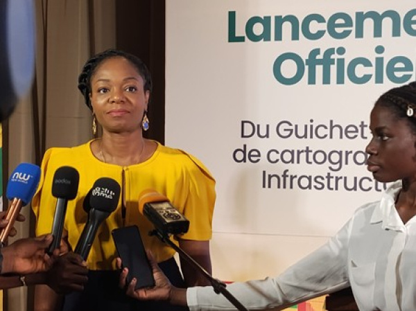
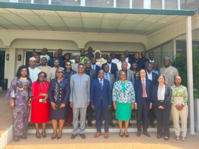
(Togo First) - Togo on Thursday launched a one-stop platform for mapping infrastructure, alongside the deployment of a national RTK correction network known as CENTIPOS. The launch took place in Lomé and was presided over by Cina Lawson, minister of digital economy and digital transformation.
Authorities described the platform as a key digital tool designed to centralize data on existing infrastructure across the country. They said the initiative marks a step forward in modernizing infrastructure management.
The platform is intended to improve coordination of construction works, prevent damage to existing installations and optimize project planning.
It addresses a recurring issue in Togo: the lack of a reliable, shared system for mapping existing networks. Each year, road, energy and telecommunications works damage underground or overhead installations that are not accurately mapped, causing disruptions to essential services such as electricity, drinking water and electronic communications.
These incidents, which are costly for operators, businesses and users, highlight the limits of a fragmented system. By centralizing information, the platform provides an up-to-date overview accessible to all stakeholders, including construction firms, network operators and public administrations.
The system combines two tools: a national web platform to visualize infrastructure, plan works and coordinate operations, and a mobile application enabling field teams to collect and update data in real time.
It operates in four stages: prior declaration of planned works, analysis of network interactions, execution of works with precise location tracking, and automatic data updates after project completion.
To ensure this level of precision, the system relies on CENTIPOS, a national network of 25 reference stations capable of locating infrastructure within a centimeter. Position corrections are transmitted in real time via mobile networks.
Beyond infrastructure, the system is expected to support other sectors, including land registry, precision agriculture and environmental mapping.
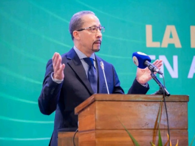
“This precision is a game changer. It supports our digitalization strategy to improve governance and public service efficiency,” Lawson said.
With this system, Togo is reinforcing its digital transformation agenda and strengthening infrastructure governance, with a focus on efficiency and sustainability, the government said.
Esaïe Edoh